Israeli Occupation Converts Gaza Hospital into Military Base: Satellite Analysis Reveals
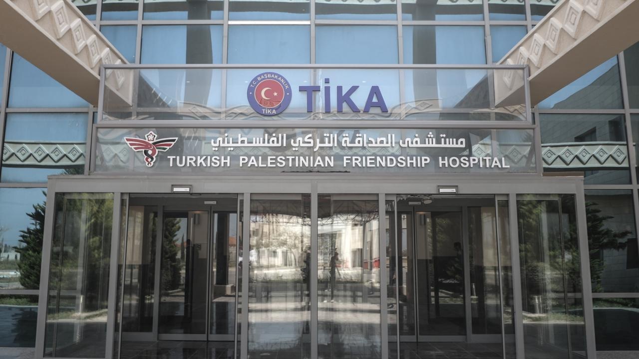
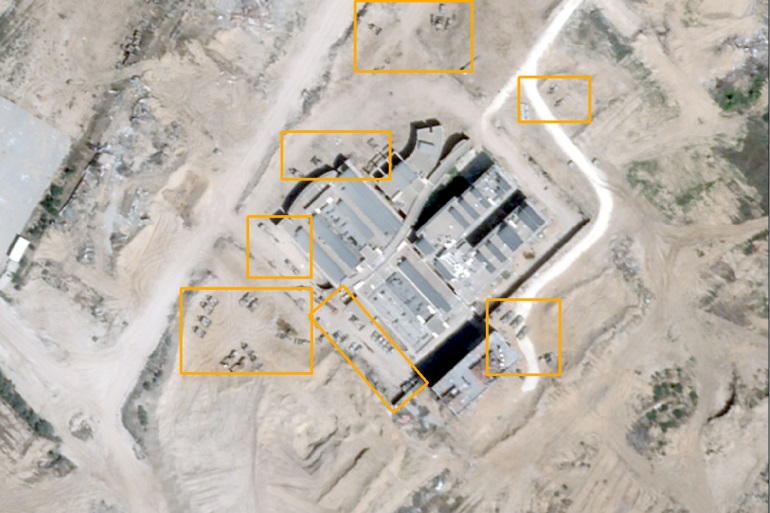
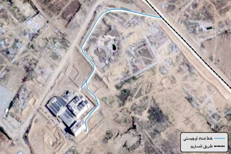
Watan-The results of satellite image analysis revealed that the Israeli occupation army has turned a specialized hospital south of Gaza City into a continuous military gathering area surrounded by earth fortifications to protect dozens of vehicles stationed around the hospital.
The analysis was based on satellite images taken between November 23rd of last year and April 17th of the current year.
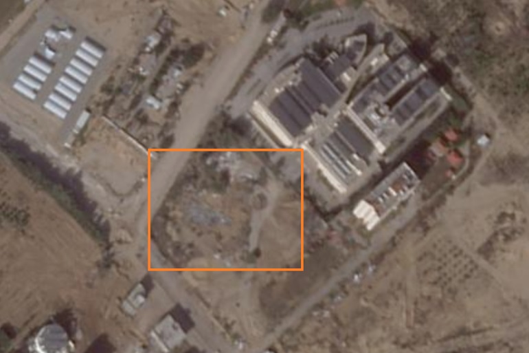
The images captured on March 24th of last year showed traces of Israeli military vehicles that destroyed some facilities in the courtyard of the Turkish-Palestinian Friendship Hospital located in the Maghazi area, according to Al Jazeera network.
This marks the first appearance of the effects of the occupation army’s operations through satellite images inside the hospital.
Increase in the number of vehicles
The number of Israeli vehicles in the hospital and its surroundings has increased according to images taken from December of last year to April 18th of the current year.
The analysis observed the presence of around 55 Israeli vehicles in the location as of April 16th of the current year.
Regarding the occupation army’s takeover of the hospital as a base for its forces, images from April 3rd of the current year showed that the army worked on branching a logistics supply line called “Netzarim Road” – established by Israel to separate the north and south of the Gaza Strip – reaching the hospital in particular.
New checkpoints
Satellite images taken on March 20th of last year showed the construction of new checkpoints by the occupation army along the Netzarim Road.
The Turkish Friendship Hospital is the only hospital for treating cancer patients in the Gaza Strip, funded by the Turkish government in recent years. It consists of 3 floors, containing 180 beds on an area of 34,800 square meters.
The governmental media office in Gaza confirmed that 10,000 cancer patients are facing death and in need of treatment after lacking specialized treatment, follow-up, and the necessary medications.


