
US Earthquake Risk Map Unveils Alarming Threat to Major Cities
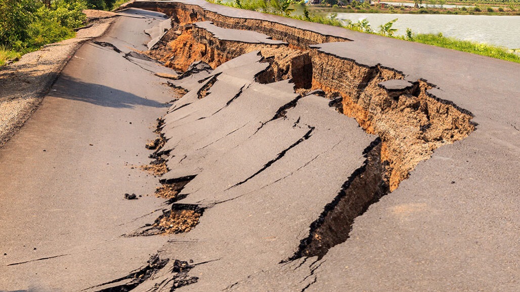
Watan-A new map has revealed earthquake hotspots, with nearly 75% of the United States in a danger zone, putting hundreds of millions at risk.
The United States Geological Survey made this discovery after its latest model for the United Statesfound that major cities like New York, Washington, and Boston are increasingly susceptible to major earthquakes.


The US Geological Survey anticipates that earthquake damage could cost the country $14.7 billion per year. Over the past 200 years, 37 US states have experienced earthquakes exceeding a magnitude of 5 on the Richter scale.
Well-known active regions like California and Alaska also face a higher likelihood of destructive earthquakes in the next century. Recent volcanic eruptions in Hawaii have also increased the risk on the island, according to Metro.
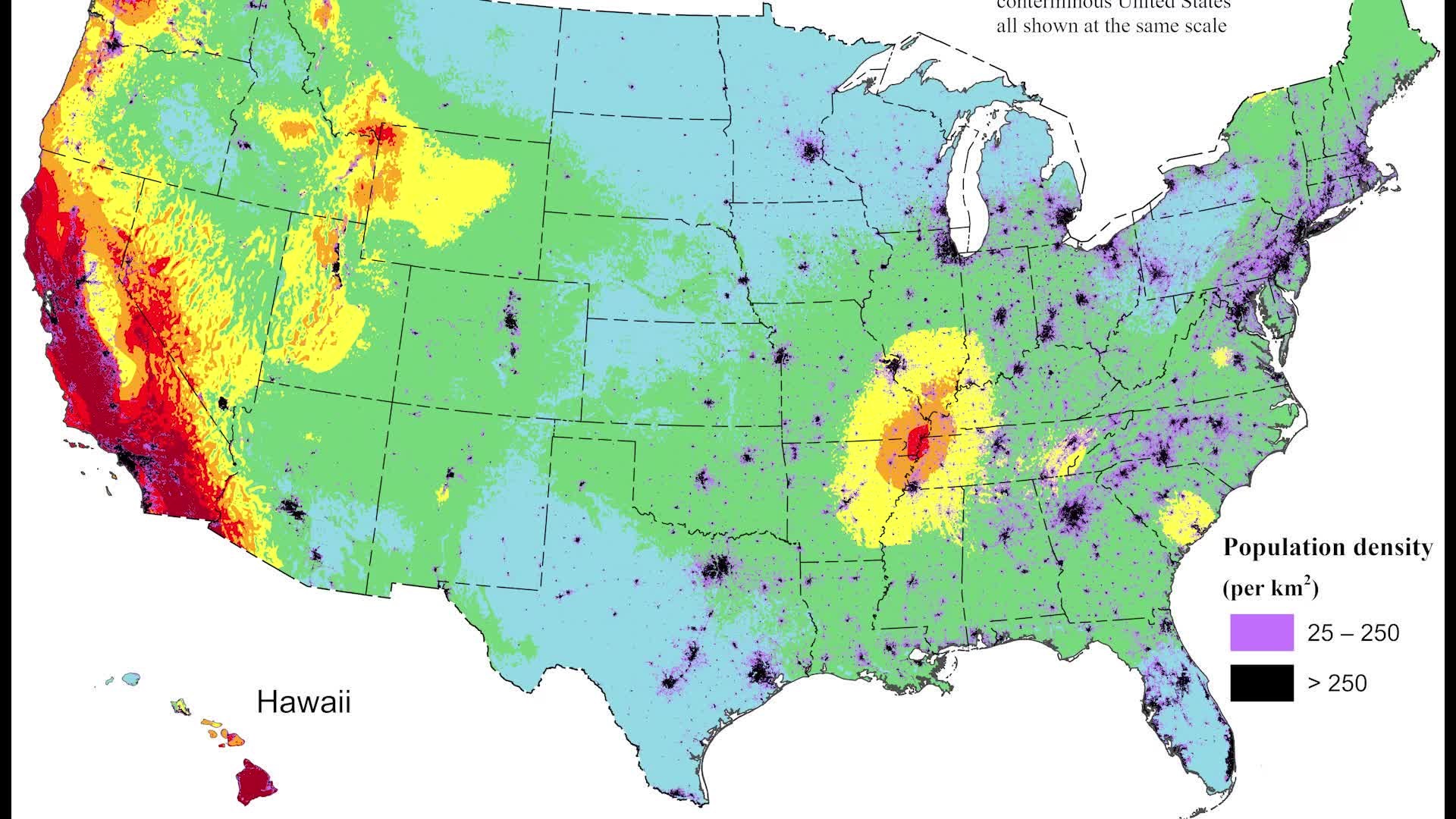
The map indicates that the long stretch of the West Coast and southern Alaska has a more than 95% chance of experiencing a destructive earthquake in the next 100 years.
Hotspots around Memphis, Tennessee, and Yellowstone – home to a giant volcano – have a likelihood ranging from 75% to 95%.
New tools and technology have allowed scientists to discover over 500 new fault lines across the country, bringing the total number to around 1000.
Mark Petersen, a geophysicist at the US Geological Survey and the lead author of the study, said, “Predicting earthquakes is difficult, but we have made significant progress with this new model.” He added, “The update includes more faults, a better description of ground surfaces, and computational advances that provide a clearer view of the earthquake risks we face.”
As a result of the new modeling, 25 states, including Washington, Oregon, Indiana, Arkansas, and South Carolina, now face a medium to high risk of a major earthquake in the next 100 years.
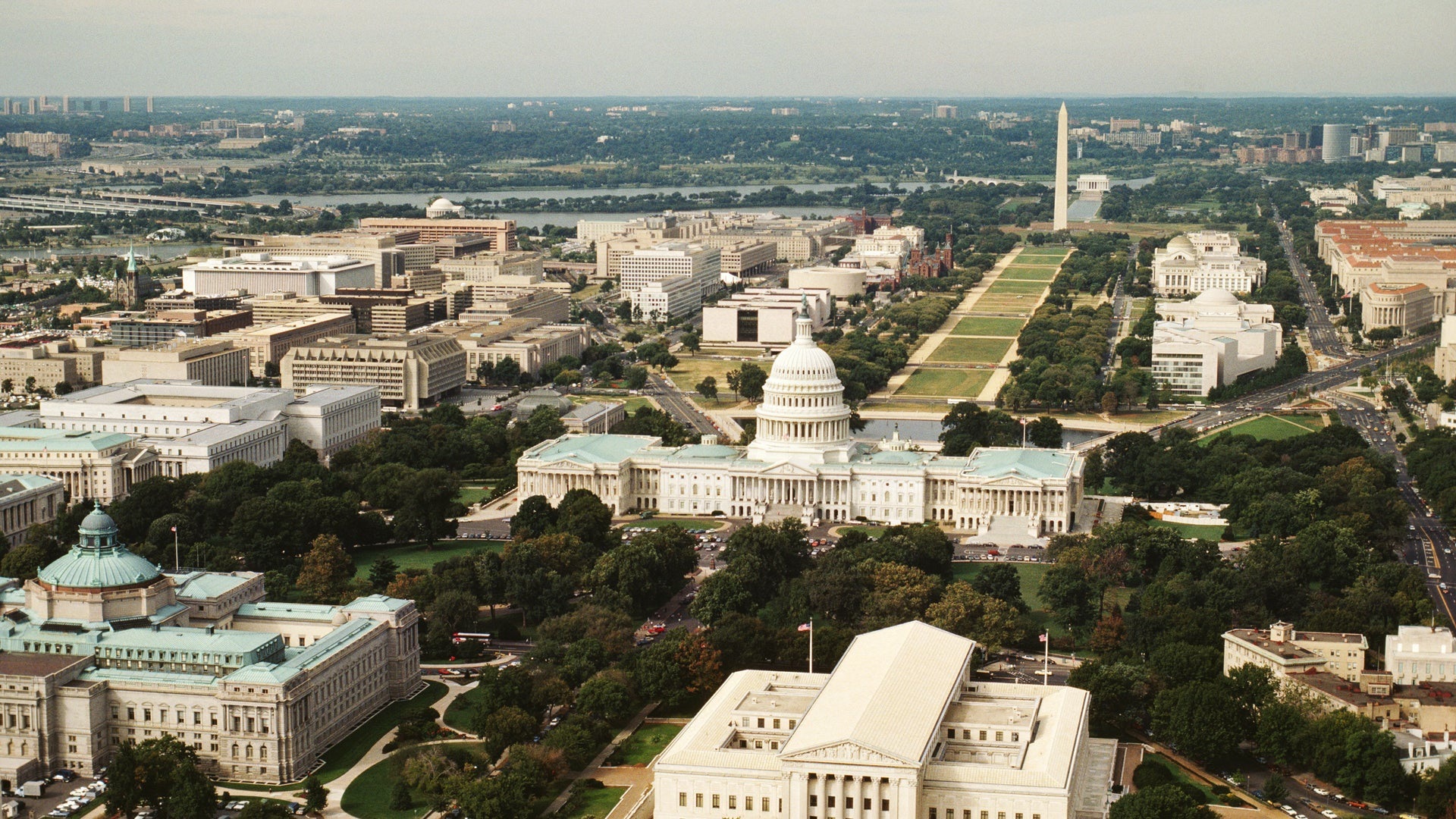
The “Atlantic Coastal Corridor” is also exposed to a higher risk, with a 60% chance of New York experiencing a destructive earthquake. Nearly nine million people live in the city.
Petersen said, “This has been a major, multi-year cooperative effort between federal, state, and local governments and the private sector. The new seismic risk model represents a significant achievement for enhancing public safety.”
However, the US Geological Survey warned that earthquakes cannot be predicted. “But by studying faults and past earthquakes, scientists can better assess the likelihood and intensity of future earthquakes.”